On a train to Belleville, a woman told me she was from the Lost Villages.
I imagined a place that had slipped out of use: a railway stop without trains, perhaps, or a town whose name had vanished from the map.
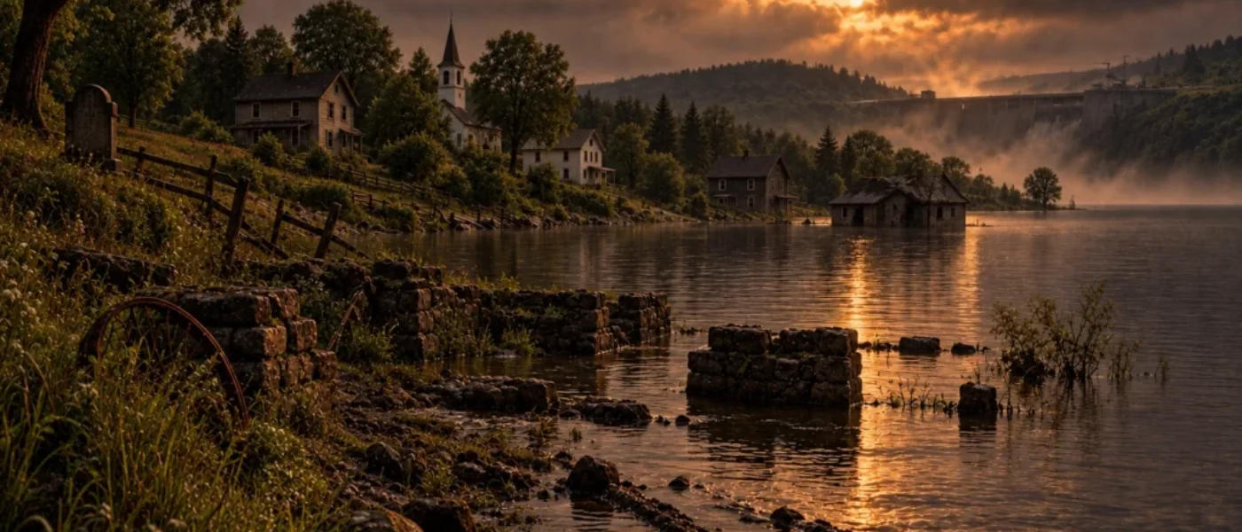
Then she told me her grandparents were still there. In the graveyard. Underwater.
I had several questions. The first was: Under what water?
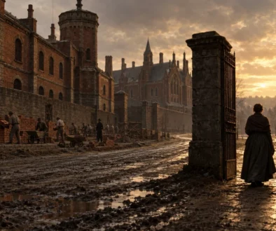
Along the St. Lawrence River near Cornwall, Ontario, there were once villages called Mille Roches, Moulinette, Wales, Aultsville, and others. People lived there in the ordinary, untidy way people do. They planted gardens, borrowed ladders, buried their parents, and gave directions using houses everyone knew.
In the 1950s, Canada and the United States wanted a better route for ships and a great deal of electricity. Engineers drew plans for the St. Lawrence Seaway and Power Project. Dams would change the river. The water would rise.
There was one small complication: people were already living where the water needed to go.
The proposed solution was to move the people.
I can almost picture the meeting. A long table. A map. Someone pointing to a neat blue shape where villages used to be. Someone else saying, “We’ll build them new towns,” as though a town were a collection of furniture that could be packed into a van.
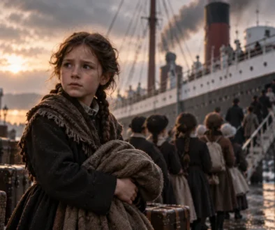
More than 6,500 people had to leave. Some buildings were moved; many were demolished. People went to new communities such as Ingleside and Long Sault. They could take their belongings, if those belongings fit. They could not take the road to a friend’s house, the view from a kitchen window, or the neighbour who had lived next door for forty years.
The project had a splendid name for all this: progress.
On July 1, 1958, the flooding began. Over the next several days, water covered the old village sites. Imagine spending Canada Day watching the river climb the steps of a place you had called home.
Then came the question of the cemeteries.
Some families had their relatives’ remains moved to new burial grounds. Other graves were left where they were and covered with heavy stone before the water rose.
Picture having to make that choice because someone, somewhere, had decided the river should be wider.
This was what the woman on the train meant. Her grandparents had not become a colourful local legend. They were still buried in the place where their family had laid them to rest. The water was new. The graves were not.
The villages have not been preserved whole beneath the surface. Many buildings were removed. But old roads, foundations, and canal works remain. Some can be seen by divers. The islands along the Long Sault Parkway are high ground that the rising water did not quite manage to swallow.
I found an animated map of the flooding. A still map lets you study the plan. The animation lets you watch it happen. The shoreline moves. The water spreads. Places where people lived disappear under blue.
And I keep coming back to the extraordinary human confidence behind it. We wanted power and a shipping route. We knew how to build them. Faced with villages, farms, and graveyards in the way, we decided we could move whatever would move and cover the rest with water.
Then we called the villages lost.
That may be the finest bit of fuckwhittery in the whole story. No one misplaced them. We knew exactly where they were.
——————–
The Fuckwhittery Footnote
The events in this story are real. The names, dates, and decisions are there for anyone who wants to follow the rabbit hole. There is plenty more to discover.
Most of us did not learn this part of history in a Canadian classroom. We think we should have. Because history is easier to remember when you see the astonishing things people actually decided to do—and the endless human capacity for fuckwhittery.